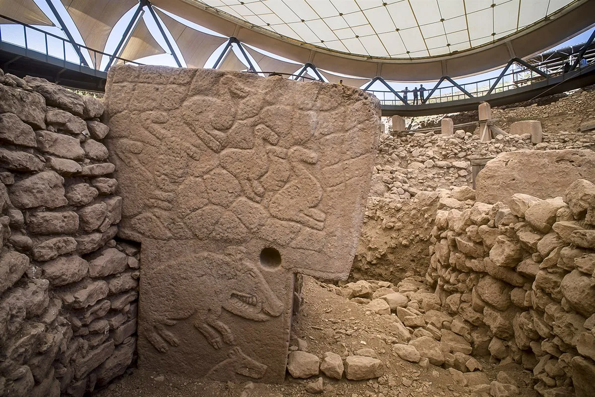
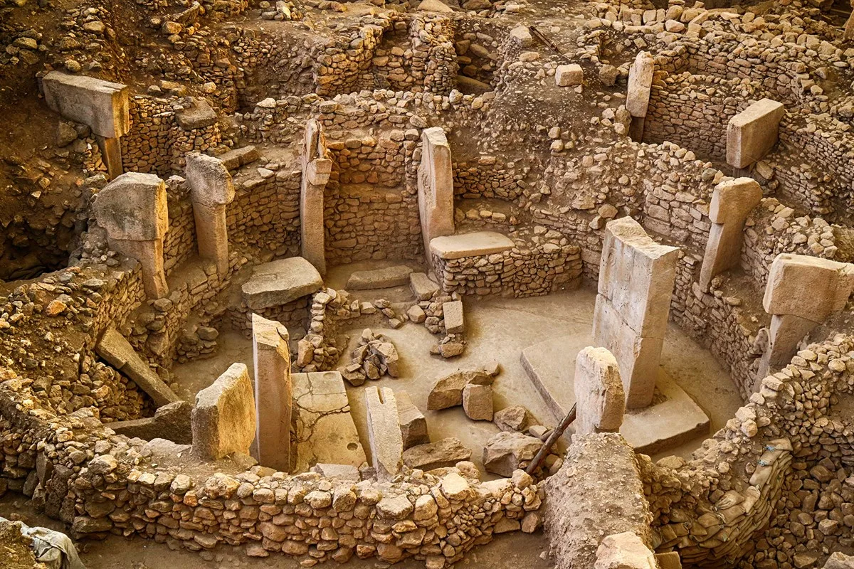
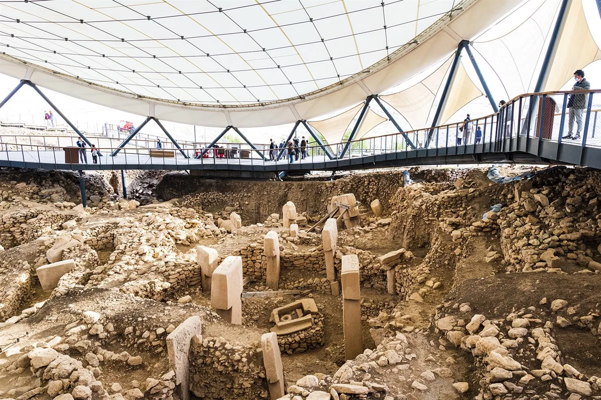
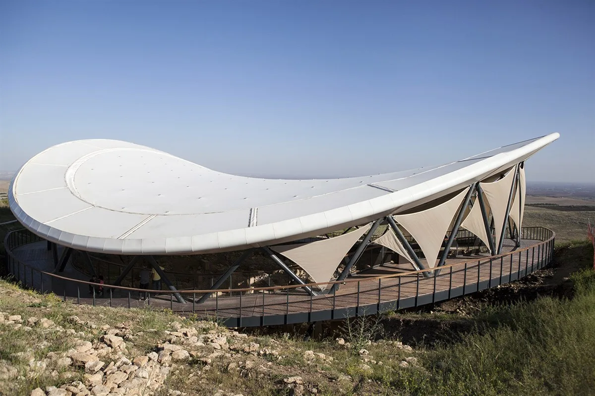
Göbekli Tepe was first identified as an archaeological site in 1963 during a surface survey conducted by Turkish and American scientists. The results of this study were published by Peter Benedict in 1980. Göbekli Tepe is located 15 km northeast of Şanlıurfa, on a mountainous area near Örencik Village, which is part of the city center. Unlike other Neolithic settlements, the chosen site is not near a water source, valley, or plain, but rather on a long ridge bordering the Harran Plain to the north, in a commanding position overlooking the landscape. It is 300 m in diameter and 15 m high. Due to its topographical features and location, Göbekli Tepe, dating back to the early stages of the Neolithic period, was initially not understood for its current significance. However, the presence of limestone blocks throughout the site led to the conclusion that it was a cemetery. Between 1995 and 2006, continuous excavation work was carried out under the leadership of the Şanlıurfa Museum Directorate, with the participation of Prof. Dr. Harald Hauptmann and later Dr. Klaus Schmidt and their team from the German Archaeological Institute. Since 2007, it has been granted the status of a Council of Ministers approved excavation site under the leadership of Dr. Klaus Schmidt. As a result of the excavations carried out so far, 4 layers have been uncovered at Göbekli Tepe. The uppermost Layer I is a surface fill used for agriculture, while the remaining 3 layers date to the Pre Pottery Neolithic Period. The stratigraphy at Göbekli Tepe from top to bottom is as follows.
GOBEKLITEPE
Şanlıurfa, Şanlıurfa
Information
Category
Historical Places
Historical Places
Address
Şanlıurfa, Şanlıurfa
Şanlıurfa, Şanlıurfa
Views
241
241
Overview
Nearby Places

Map
Şanlıurfa, Şanlıurfa
Activities in the Area
No activities found in this area.
Events in the Area
No events found in this area.